
Wysoka
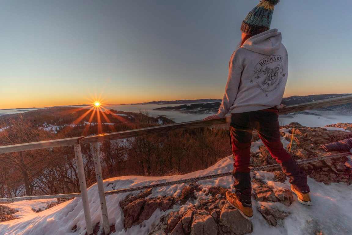
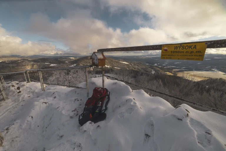
A relatively short but occasionally challenging hike along the green trail to Wysoka Peak (1,050 m above sea level), the highest peak in the Pieniny. The route passes through Homole Gorge, Dubantowska Valley, and wide, scenic meadows. Wysoka rewards hikers with expansive views, including the Tatras, Gorce, Beskid Sądecki, and Magura Spiska.
Distance 3.6 km
Estimated time 1 h 40 min
Elevation gain 498 m
Route: Jaworki / Homole Gorge – Dubantowska Dolina (20 min; 900 m) – Polana pod Wysoką (1 h; 2.2 km) – Wysoka (20 min; 500 m)
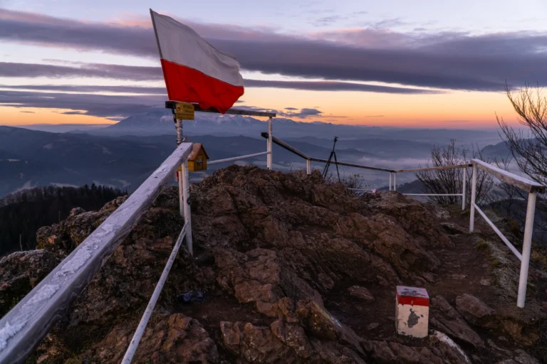
To the surprise of many visitors, it’s neither Trzy Korony nor Sokolica that is the highest peak of the Pieniny. That title belongs to Wysoka, located far on the eastern edge of the range.
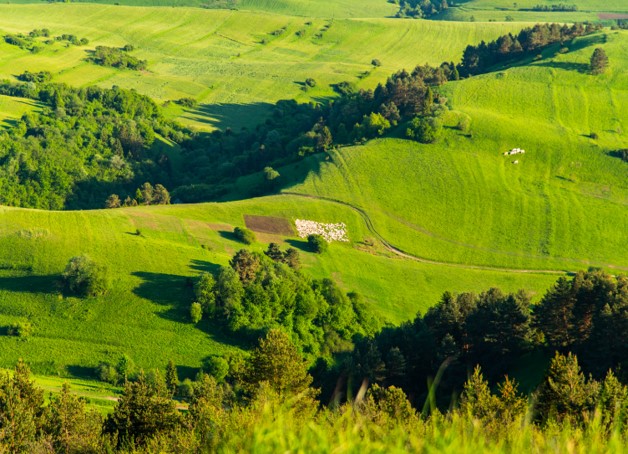
The most popular route to this peak follows the green trail through the picturesque Homole Gorge, famous for its limestone walls, wooden footbridges, and the gently babbling Kamionka stream. After leaving the gorge, the trail passes through Dubantowska Polana, where the mysterious Stone Books await, shrouded in Łemko legends.
The path continues across open meadows and scenic slopes, briefly dipping into forest just before the summit (blue trail). Wysoka (1050 m a.s.l.), also known as Wysokie Skałki, is the highest point of the entire Pieniny. From the peak, you’re rewarded with an impressive panorama — taking in the Tatras, Magura Spiska, the Pieniny Proper, Gorce, the Beskid Sądecki, and, on a clear day, even Babia Góra.
If you choose a less-traveled route from Jaworki via Rozdziele Pass, you can enjoy peace and fewer hikers. It’s also worth planning a longer scenic loop along the ridge of the Small Pieniny — via Pod Durbaszką Resort or toward Szafranówka and Palenica. In this variant, the entire excursion takes approximately 4–5 hours.
Trasa: Jaworki – Wąwóz Homole – Dubantowska Polana (około 20 min; 900 m) – Polana pod Wysoką (około 1 godz.; 2,2 km) – Wysoka (około 20 min; 500 m).