Szczawnica for cyclists
BY BIKE
SPRING | SUMMER | AUTUMN
Szczawnica is the perfect destination for cycling enthusiasts.
Fans of two wheels will find something to enjoy here all year round.
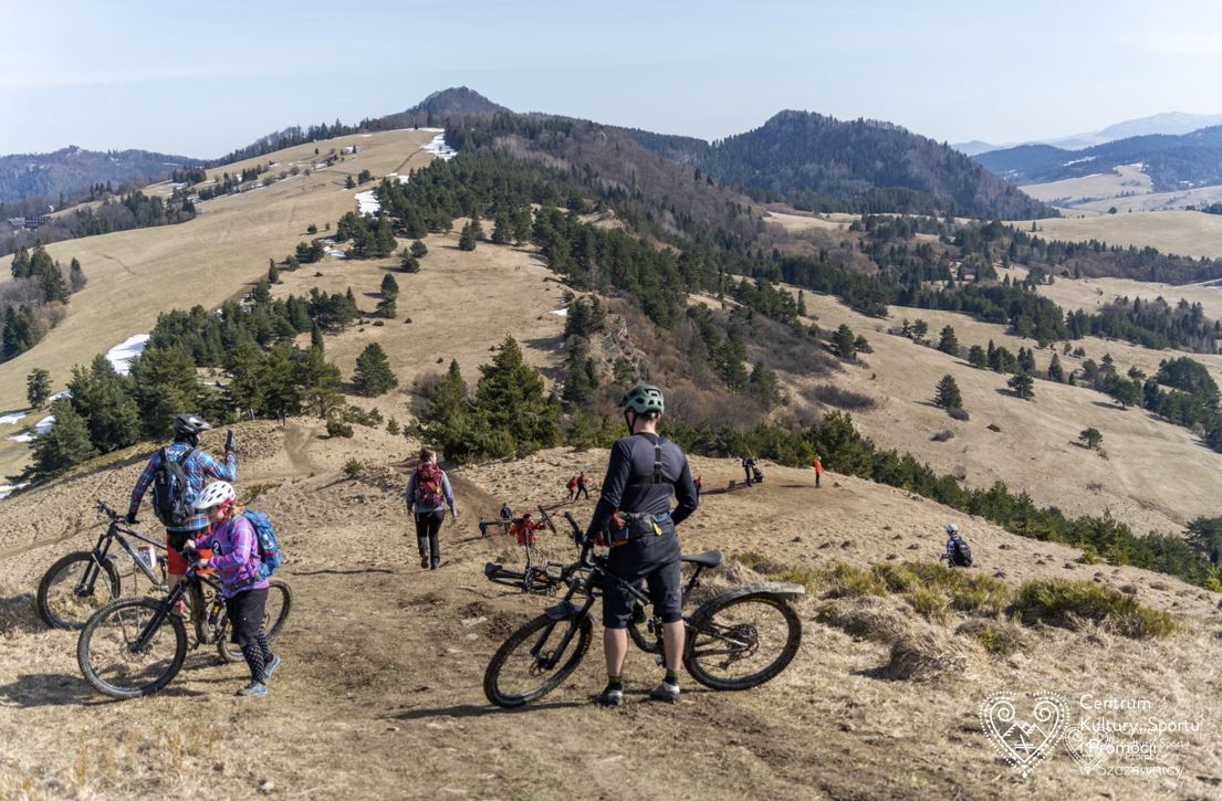
Nestled between the Pieniny Mountains and the Beskid Sądecki, Szczawnica offers exceptional conditions for every type of cyclist. You’ll find family-friendly routes, MTB trails, and, for thrill-seekers, exciting downhill (DH) tracks. Below, we recommend what we consider the most interesting routes.
FAMILY ROUTES
Červený Kláštor
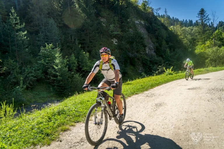
UNMARKED, ROUTE: from the parking lot by the Dunajec River, follow Stara Droga Pieńińska (Old Pieniny Road) upstream – border crossing – Červený Kláštor. Length approx. 25 km (round trip), time approx. 2 h 30 min, elevation gain 50 m. Paved road.
BIAŁA WODA
GREEN MARKERS, ROUTE: Jaworki – Homole parking – Biała Woda Reserve – Rozdziele Pass – Obidza. Marked and open in both directions, length approx. 25 km (round trip), time approx. 3 h, elevation gain 450 m. Paved roads and forest paths. From Obidza Pass it is possible to reach Piwniczna via cycling route no. 2 (green) through Wielki Rogacz, approx. 15 km, and route no. 3 (blue) through Eliaszówka, approx. 18 km, as well as the red-marked hiking trail. Attention! These marked routes require sufficient physical fitness and technical skills.
MTB ROUTES
SEWERYNÓWKA
BLACK MARKINGS, ROUTE:
Szczawnica Wyżna – Sewerynówka – Jastrzębi Stream Valley – Przehyba – Sopotnicki Stream Valley – Sewerynówka – Szczawnica. Marked and open in both directions, length approx. 30 km, time approx. 4 h, elevation gain 750 m. Asphalt, gravel road, forest path. From Hala Przehyba you can descend to Gaboń, to Rytro via Hala Konieczna, or to Piwniczna via Rogacze on hiking trails.
BEREŚNIK
BLUE MARKINGS, ROUTE:
Szczawnica PKS – Bereśnik – Szczawnica.
Marked and open in one direction, length approx. 8 km, time approx. 1 h 30 min, elevation gain 450 m. Gravel roads.
SMALL PIENINY RIDGE
RED MARKINGS, ROUTE:
Jaworki Homole car park – Durbaszka shelter – Rabsztyn – below Jarmuta – Szczawnica Wyżna. Marked and open in one direction, length approx. 10 km, time approx. 1 h 40 min, elevation gain 30 m.